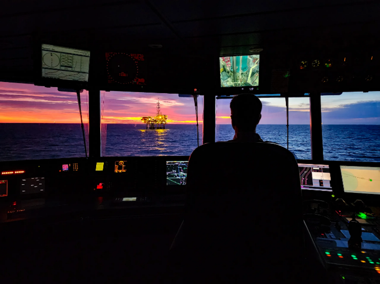
Insight article
Are you ready for the rise of multi-objective seismic campaigns?
14 Oct 2026
 What if one seismic platform could do more? From exploration and reservoir monitoring to high-resolution site characterisation, multi-purpose seismic is challenging traditional acquisition boundaries and opening the door to greater flexibility and efficiency.
For decades, our industry has accepted a fundamental divide between conventional seismic acquisition and shallow hazard site characterisation surveys.
The reasoning seemed sound.
Exploration, appraisal, and reservoir development surveys are designed to image deeper subsurface targets. They leverage longer offsets, larger streamer spreads, and deeper tow depths, to maximise illumination of reservoirs and geological structures and operational efficiencies simultaneously.
Site characterisation surveys, on the other hand, have developed into a different discipline altogether. Geohazard identification, well planning, and offshore engineering studies have been thought to require shallow-tow, short-streamer, single-sensor configurations optimised for detailed imaging of the near surface.
Over time, these different requirements created two distinct acquisition worlds.
Different workflows. Different equipment. Different vessels. Different timelines. Different budgets.
The industry settled into these respective Goldilocks zones and largely accepted this as status quo.
What if a single seismic platform could do both? Deliver exploration surveys, reservoir development surveys, 4D monitoring, and the High-Resolution (HR) and Ultra-High Resolution (UHR) data required for site characterisation?
What if operators were no longer bound to separate acquisition ecosystems, but instead had access to a flexible platform, capable of moving seamlessly between these applications?
This is no longer a theoretical question.
Watch Susanne Rentsch-Smith explain how we can explore more with one system
During the 2026 northern European season, Amazon Conqueror demonstrated exactly what that future can look like.
The season began in the UK North Sea with a 4D survey over the Mariner field. Equipped with Shearwater's proprietary Isometrix single-sensor multi-component streamer technology, the vessel delivered high-quality, repeatable time-lapse seismic data to support reservoir monitoring and field management objectives.
From there, the vessel moved about 100 km southeast, crossing the border onto the Norwegian Continental Shelf and into an entirely different market segment.
Using the newly-enabled site characterisation functionality within the Isometrix platform, Amazon Conqueror acquired two site characterisation projects of approximately 96 km² and 60 km² respectively. Leveraging the same single-sensor multicomponent streamer technology, the vessel simultaneously delivered 3D HR and 3D UHR seismic data in a single acquisition pass.
This is significant because it challenges one of the industry's longstanding assumptions: that detailed near-surface imaging requires fundamentally different acquisition platforms and survey designs.
The surveys, designed to support geohazard identification and well planning, applied Shearwater's established High-Resolution marine geophysical expertise while utilising a comparatively large and deep-towed streamer spread. The result was a combination of High-Resolution imaging quality, improved weather resilience, and enhanced operational efficiency.
Most importantly, it proved the possibility for larger and more regional site characterisation campaigns. Rather than evaluating isolated well locations within relatively small survey footprints, operators can gain broader geological context, improving flexibility when assessing future well locations, trajectories, and field development options.
Following the completion of the site surveys, Amazon Conqueror pivoted once again.
The vessel entered large-spread exploration mode to acquire a new 3D multi-client survey in the Norwegian Sea, targeting recently-awarded and prospective open acreage.
Three distinct geophysical markets.
Four surveys.
One technology platform.
Acquired by the same vessel.
What makes this particularly interesting is not the individual projects themselves, but what they collectively demonstrate.
For years, the industry has optimised vessels, equipment, and workflows for increasingly-specific applications. While specialisation undoubtedly delivers value, it can also create operational boundaries that limit flexibility and asset utilisation.
The ability to move seamlessly between exploration, field development, reservoir monitoring, and shallow hazard site characterisation represents a different model. One where technology platforms become adaptable enough to address multiple market needs without sacrificing data quality.
That is where the real innovation lies.
Perhaps the most exciting aspect of this development is that it is not unique to a single vessel.
The capabilities demonstrated by Amazon Conqueror are available across Shearwater's Isometrix fleet. The same technology platform can support exploration imaging, field development programs, reservoir monitoring, High-Resolution surveys, and Ultra-High-Resolution site characterisation projects.
For an industry that demands increasing efficiency, that may be the most important development of all.
The question is no longer whether a single seismic platform can serve multiple markets.
The question is how many traditional boundaries in marine geophysics are about to disappear.
Related articles
Shearwater brings Isometrix into site characterisation with two North Sea surveys
From legacy to leadership: Morecambe Net Zero unlocked
